


theMapCloud saves you money
Open data is free - right? But managing and monitoring individual open datasets costs time, money and effort, every day.
the MapCloud offers more than 300 open GIS/geospatial datasets all hosted by us and kept up to date on your behalf. And the cost works out at just £150 per month. Huge savings in time, immense value in knowing this is 100% trusted, curated data.


theMapCloud - Trusted, verified, managed.
theMapCloud delivers the authoritative pack of open data that all GIS practitioners need - 300+ open mapping datasets.
Layered insights, granular and accessible detail. Connect direct to your web mapping or desktop GIS application - or use our APIs to build your own data-driven services. You can access theMapCloud via WMS, WMTS or WFS instantly, through one single API key.
Environment, transportation, societal data, utilities, inland waters, geoscientific data, health, farming... everything you need, and we're adding new datasets all the time.
How does theMapCloud work?
theMapCloud is a platform, on which we host 300+ open datasets relating to the UK (some datasets don't cover the Isle of Man or the Channel Islands at the moment, please ask us for full details and sample).
You can access theMapCloud via WMS, WMTS or WFS, and connect direct to your web mapping or desktop GIS application - or use our APIs to build your own data-driven services.
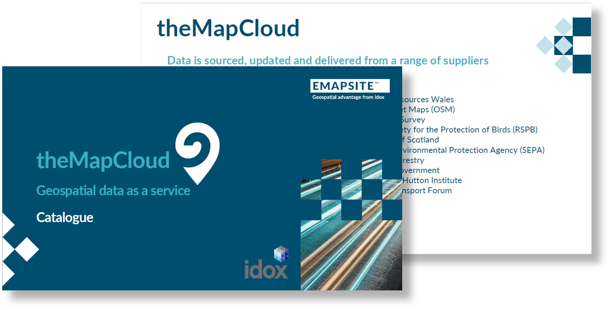
Open Data on theMapCloud
We're adding new open datasets all the time. Currently, theMapCloud includes:
• 223 environment datasets
• 29 boundaries' datasets
• 20 inland waters
• 14 geoscientific information
• 11 utilities and communications datasets
• 3 cadastral planning datasets
• 85 biota datasets
• 25 generalised location datasets
• 20 societal insights datasets
• 14 transportation datasets
• 5 oceanic datasets
• 2 health and wellbeing datasets
• 35 farming insights' datasets
• 21 economics' datasets
• 19 imagery base maps
• 11 structure datasets
• 4 elevation datasets
• 1 climatology, meteorology, and atmosphere dataset