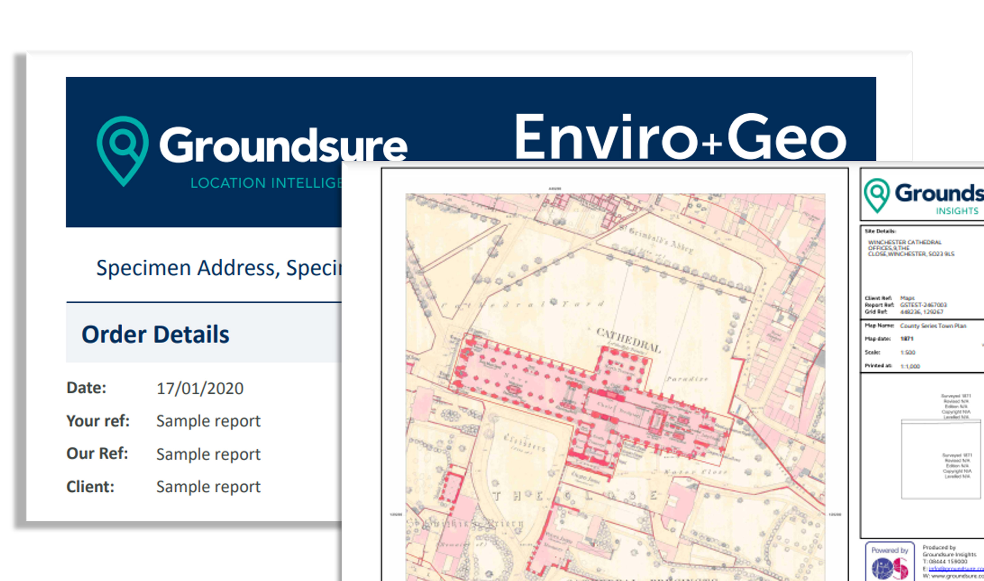
The mapping you know, from OS and many others, plus a huge variety of unique location datasets you won’t find anywhere else.
Talk to us about OS NGD
The Ordnance Survey National Geographic Database (OS NGD) is the most comprehensive and up-to-date database of geospatial information for Great Britain – and we can help you to use it.
The mapping you know, from OS and many others, plus a huge variety of unique location datasets you won’t find anywhere else…
PDF Plans
Our online services are convenient and help customers gain competitive advantage confidently by doing things faster, more consistently and with higher output.
Web Services
Spatial data can reveal hidden value. See how we spatialise to solve age-old business problems in new ways…
Free Download: Empower your Sustainability Strategy
Our spatial data and mapping teams have the expertise to help businesses and organisations in the private and public sector…
Emapsite – We are the mapping and location data experts. We are trusted partners because we are laser-focused on what matters most to our customers.
All the environmental site intelligence and underground utilities you need, in easy to interpret reports.
Detailed and accurate mapping and environmental data delivered as PDF environmental reports.
All subsurface and overground plant detail collated into one utility search report (PAS 128 compliant) from £325 + VAT - and 25% off for new customers.
Sector specific commercial location searches to enable better decision making, delivered as a PDF location report.